ENHANNCING COMMUNITY MANAGEMENT AND THE BENEFITS OF DRONE REPORTS FOR HOA ASSOCIATIONS
Homeowners’ Associations (HOAs) play a vital role in maintaining and enhancing the quality of life within residential communities. To efficiently manage their responsibilities, HOA associations often need to gather accurate and up-to-date information about their properties and common areas. In recent years, the integration of drone technology has emerged as a valuable tool, revolutionizing the way HOAs monitor, assess, and report on various aspects of community management.
Drone reports, generated by unmanned aerial vehicles equipped with high-resolution cameras and sensors, offer a unique perspective and an array of benefits that traditional inspection methods simply cannot match. This innovative approach allows HOA associations to access comprehensive and detailed data on their properties, promoting proactive decision-making, and ensuring the well-being and satisfaction of homeowners.
In this article, we will explore the reasons why HOA associations can greatly benefit from incorporating drone reports into their management practices. From streamlined inspections and maintenance to improved security and enhanced communication, the advantages of utilizing drones are manifold, transforming how HOAs carry out their essential duties.
Join us as we delve into the ways in which drone reports empower HOA associations, enabling them to better understand and address the needs of their communities, while fostering a sense of trust and transparency among homeowners.
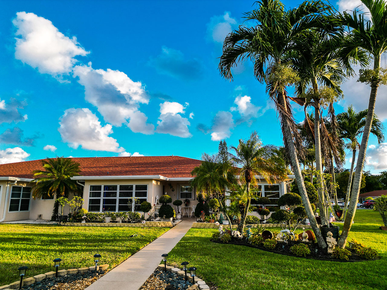
DRONES HELPING HOA'S
An association can theoretically deploy drones as part of their inspection and enforcement procedures. Florida law does not specifically forbid the use of drones for HOA inspections, and state and county courts typically offer protection to HOAs enforcing recorded covenants and bylaws.
HOAs have the option of hiring authorized outside commercial drone operators to check or patrol common areas.Drone operators can be hired by property owners and residents to capture aerial footage of events taking place or Real Estate Photography because the resident is putting there place on the market for sale.
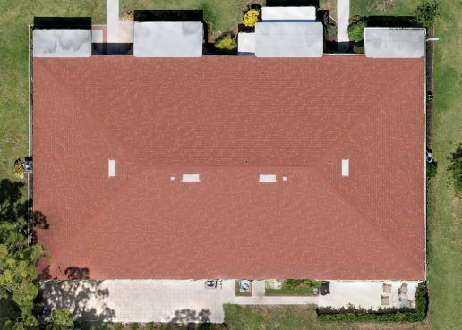
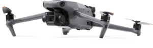
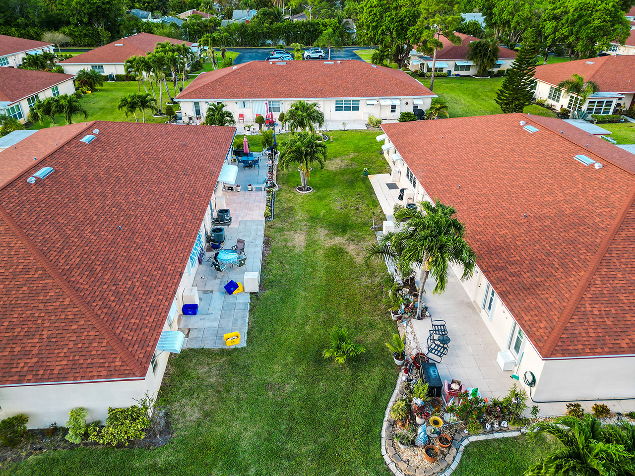
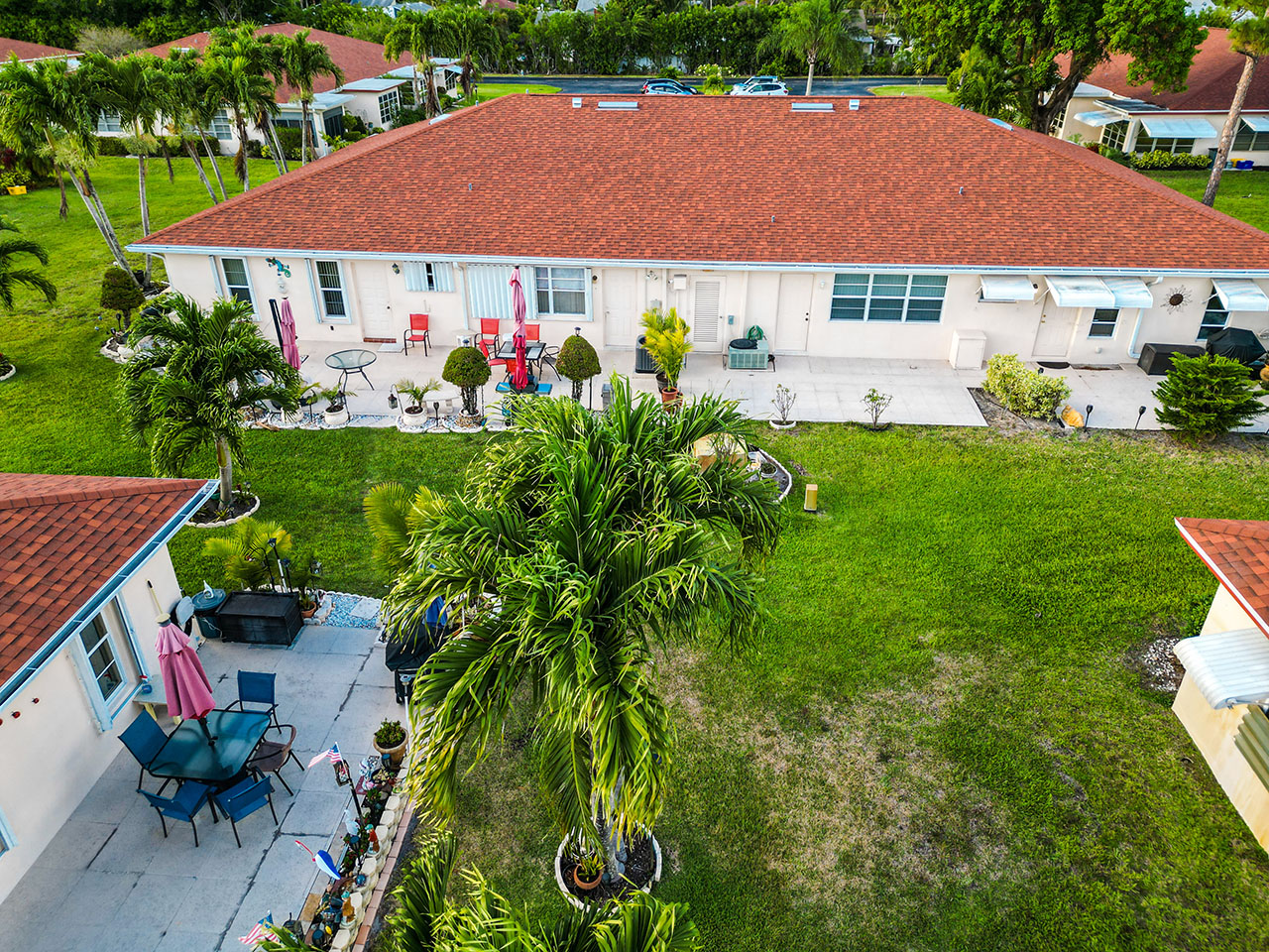
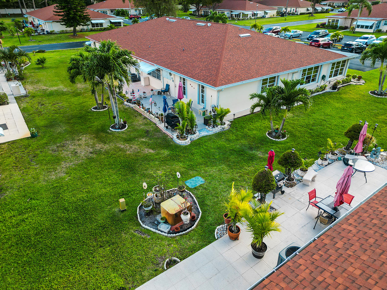
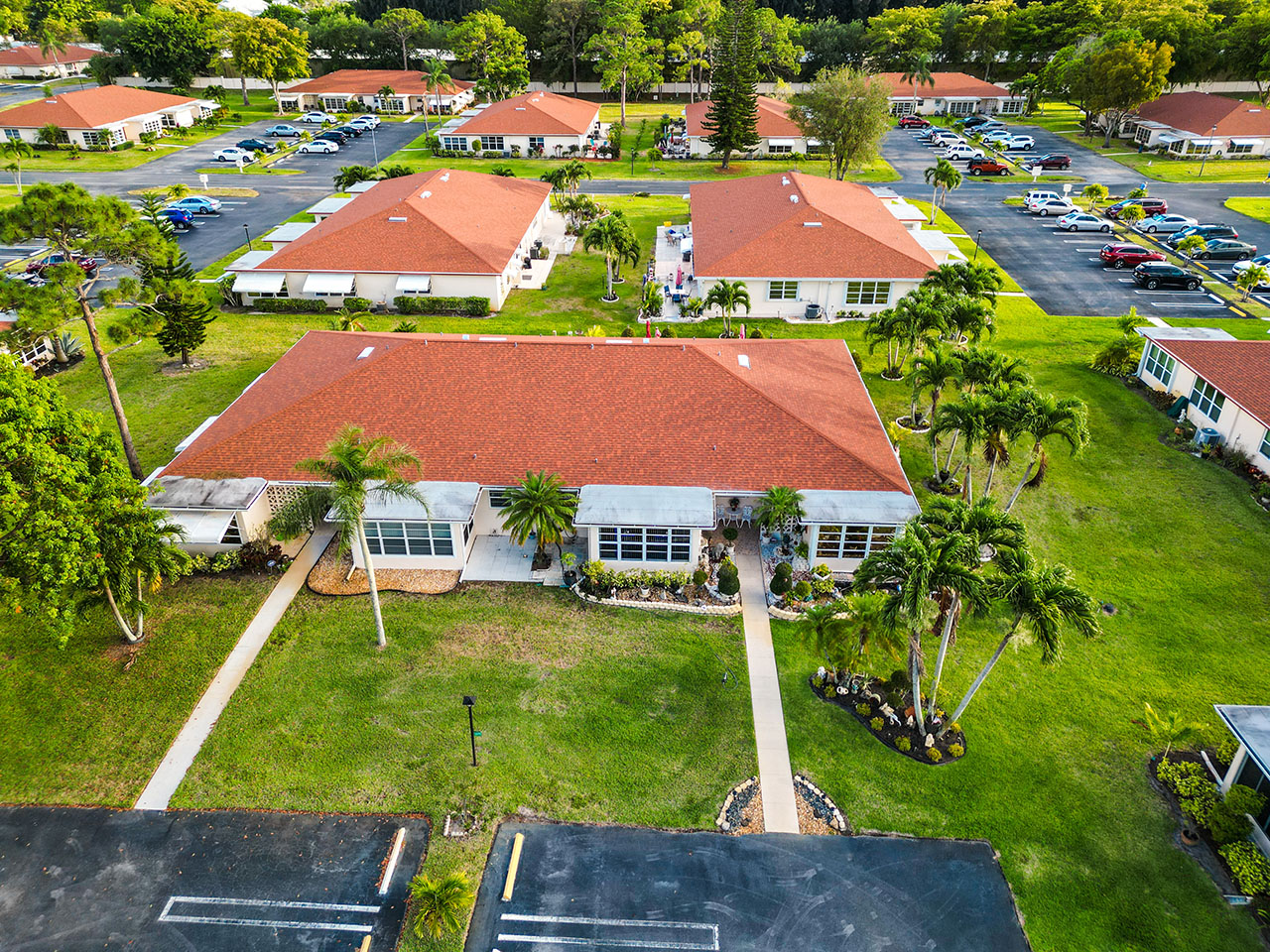
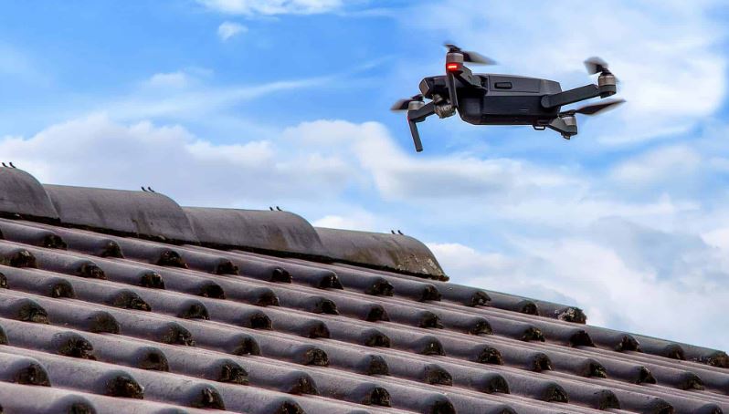
With the help of the complex process known as photogrammetry, precise three-dimensional maps and models may be produced by extracting data from hundreds of photos. Using aerial pictures with extremely high quality. These maps give HOAs the ability to measure distances and check every square inch of the property with accuracy to 2/10’s of a foot (3cm). This is accomplished by sending a drone into the air, where it will autonomously complete a task with several battery swaps, returning and continuing where it left off until the operation is finished.
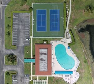
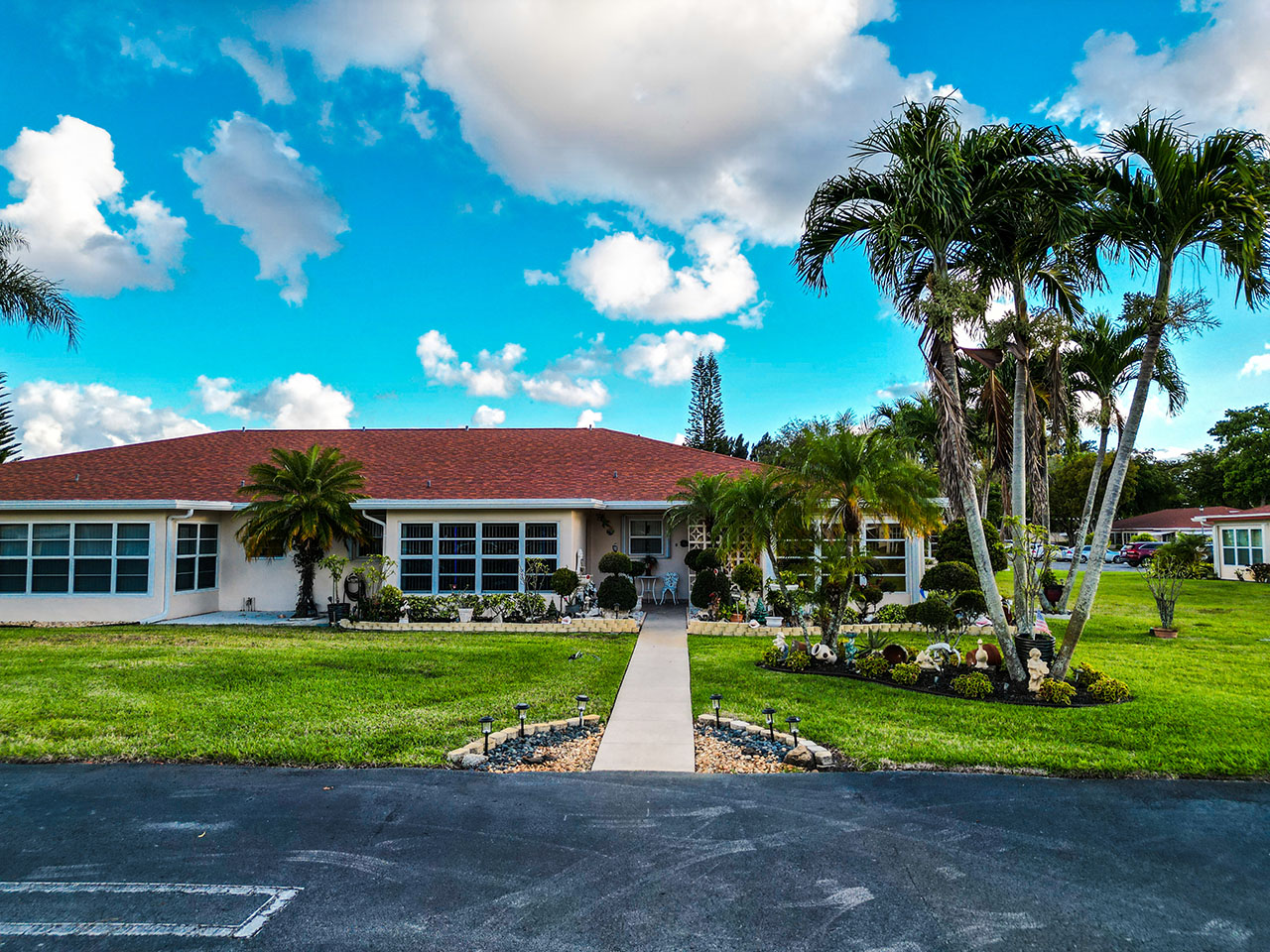
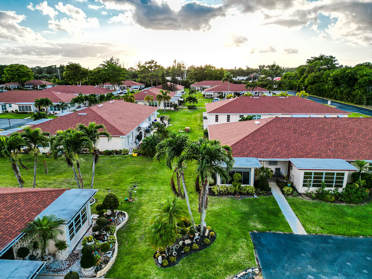
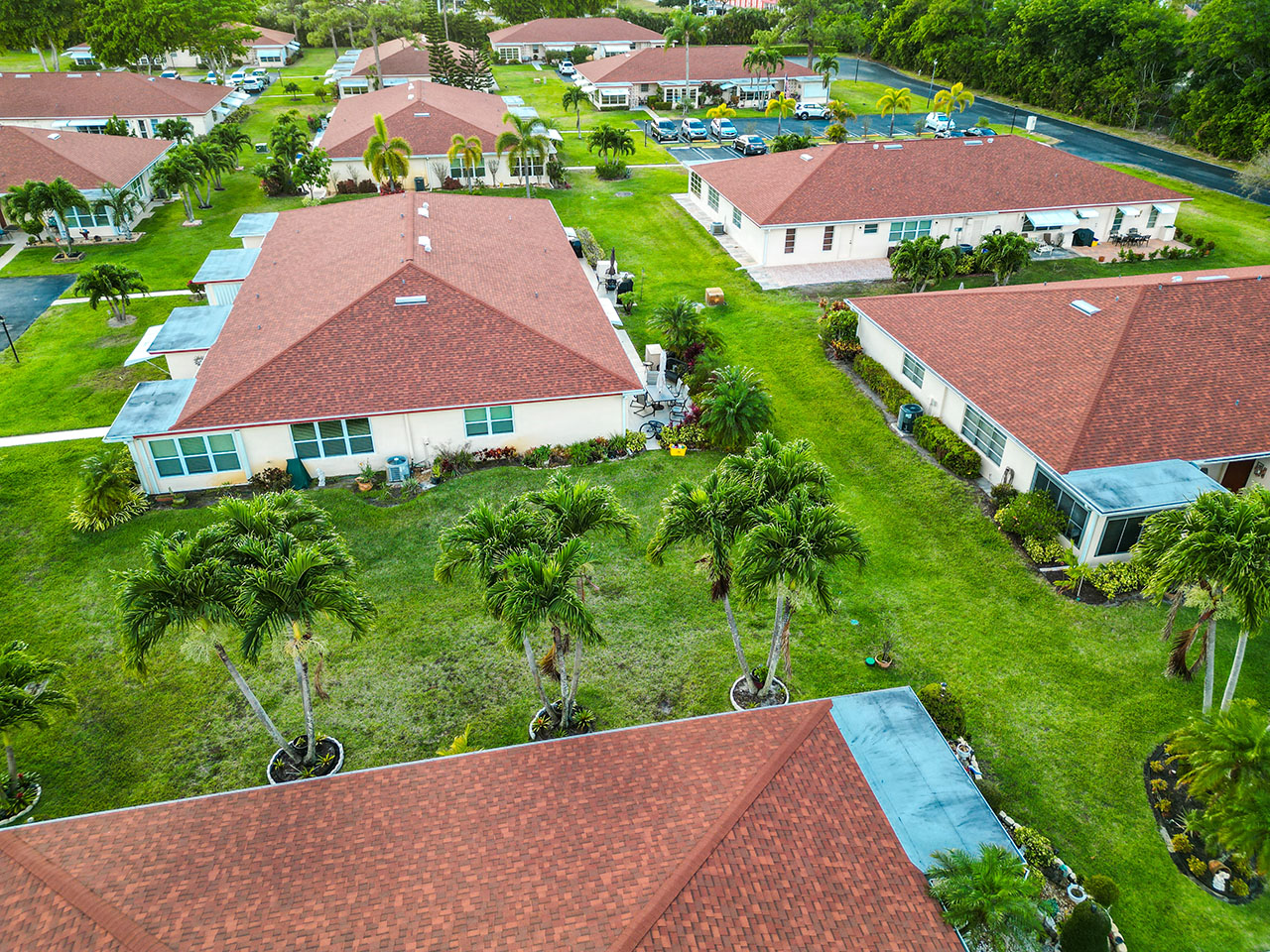
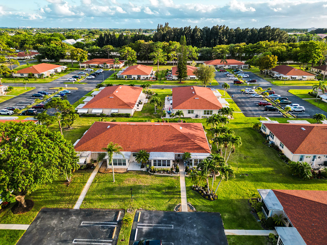
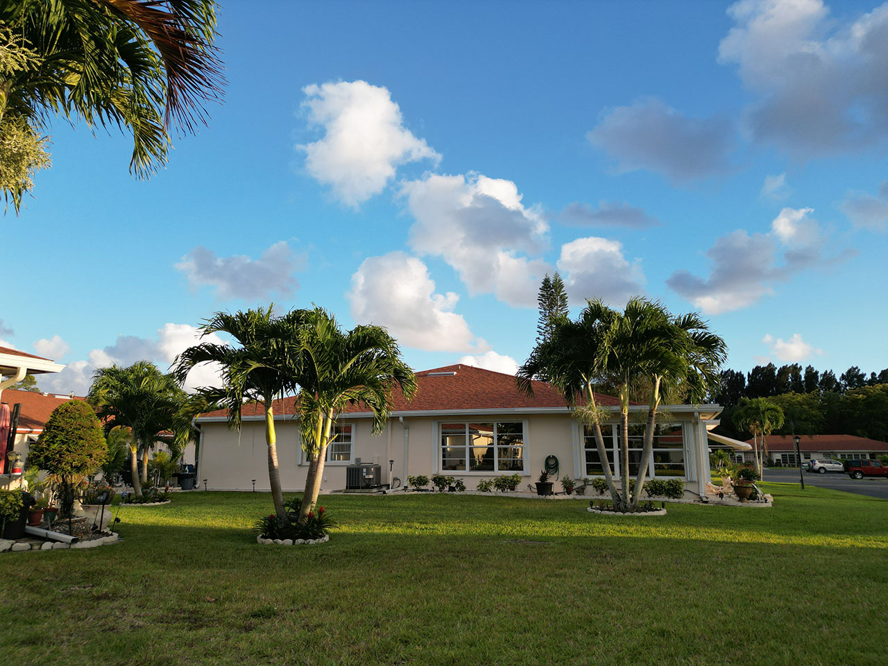
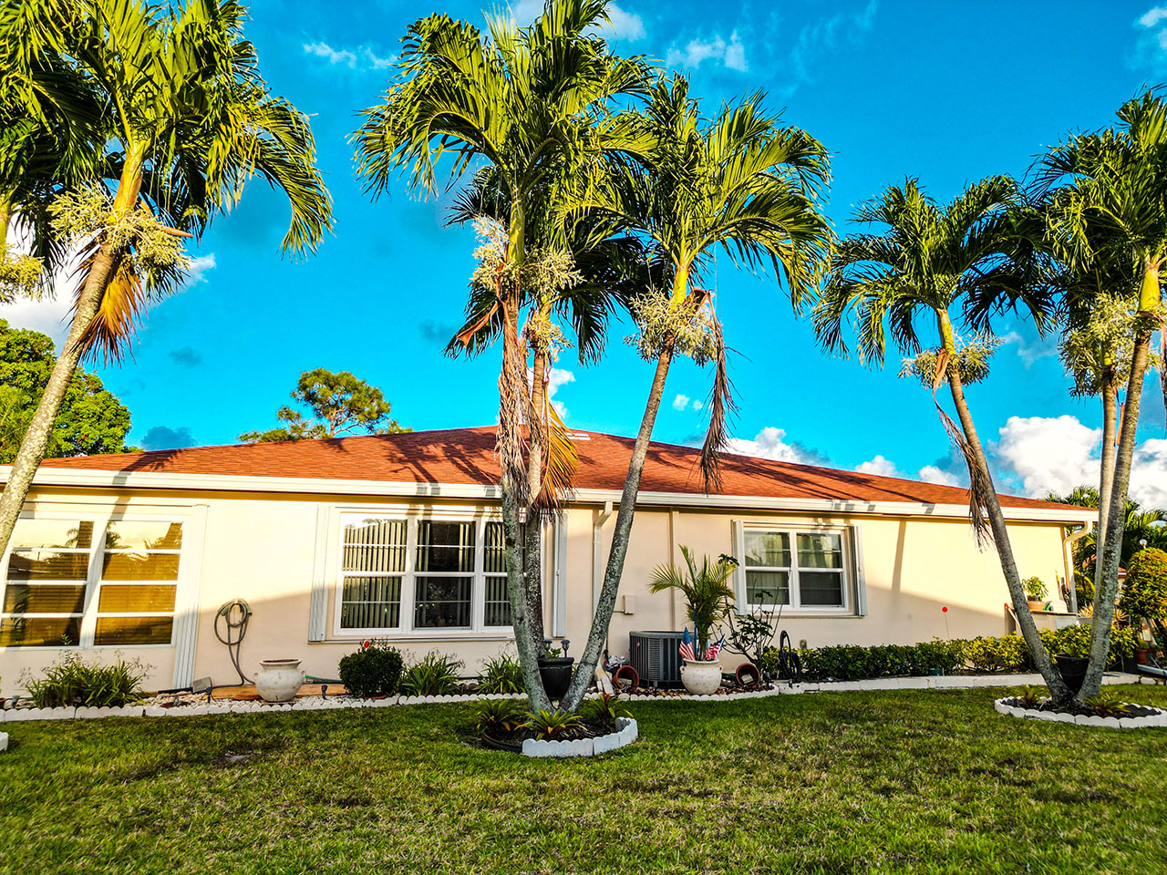
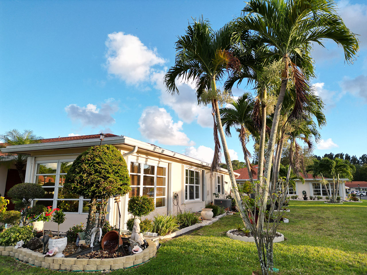
COMMON AREA ANALYSIS
Previous
Next
MANAGE YOUR COMMUNITY USING DRONES
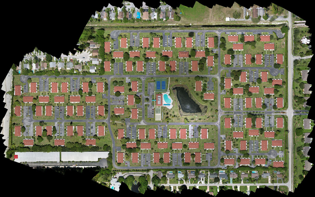
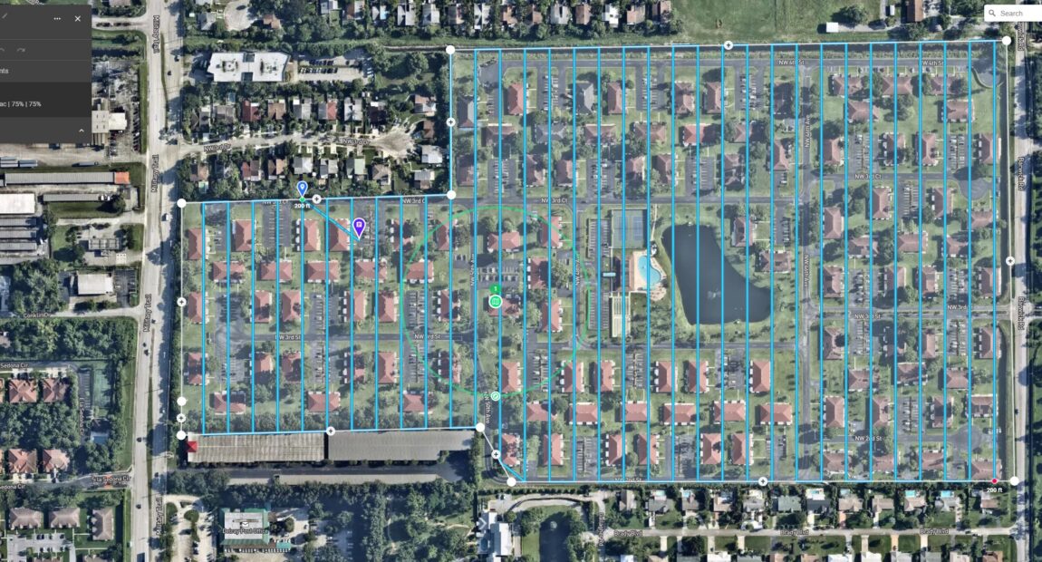
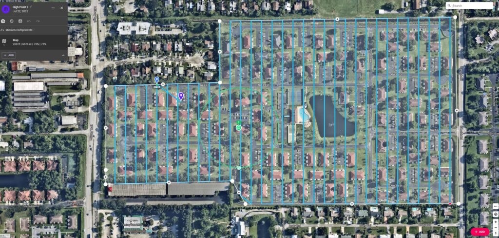
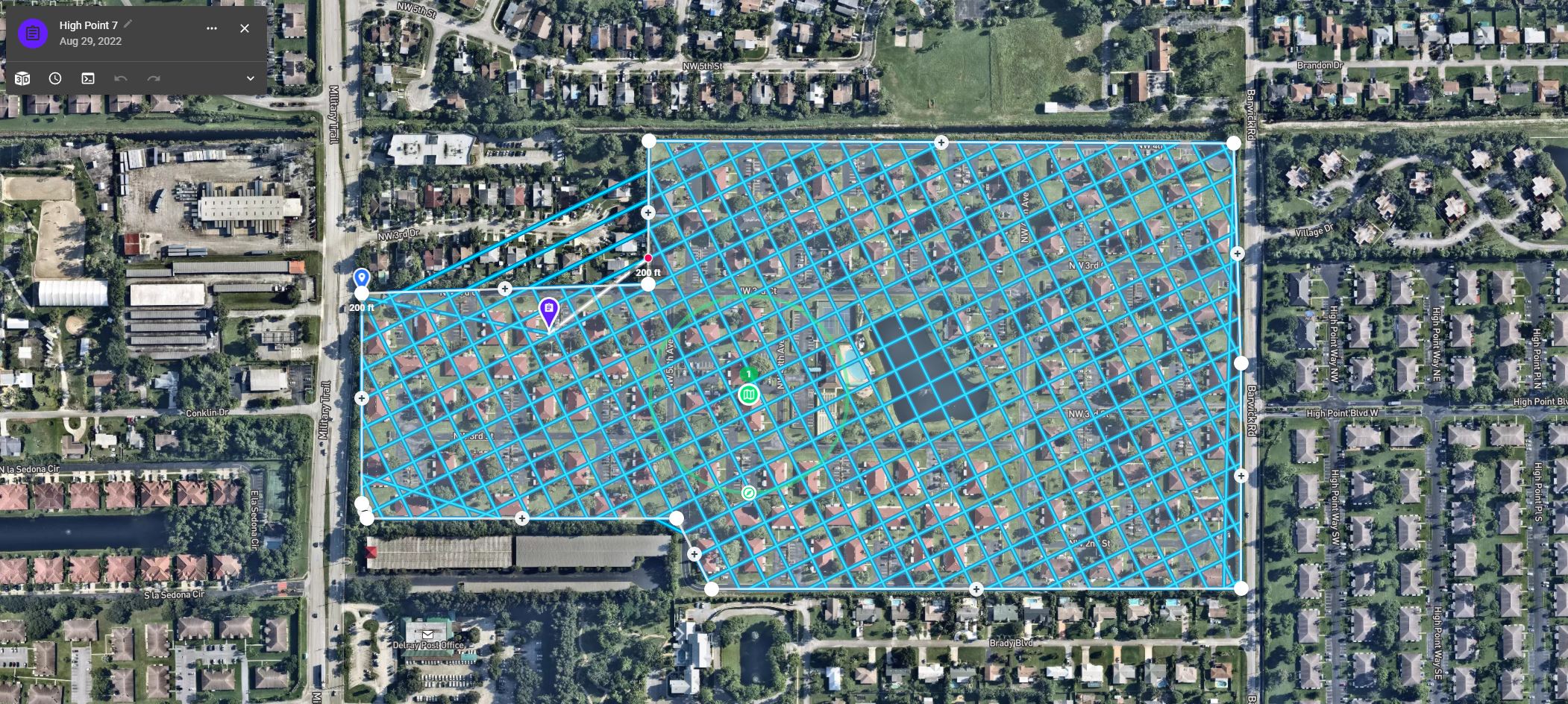
BELOW IS A ORTHOMOSAIC MAP OF THE COMMUNITY
ORTHOMOSAIC DEFINITION
Put simply, an orthomosaic is like Google Earth, but way sharper. It is a large, map-quality image with high detail and resolution made by combining many smaller images called orthophotos.
BELOW IS A 2D MAP OF THE COMPLEX PLAY AROUND WITHT THE TOOLS BELOW WERE YOU CAN MEASURE DISTANCES USE YOU MOUSE TO MOVE AROUND THER MAP. THE MAP TOOK OVER 1500 PHOTOS TO CREATEBY DRONE.
Click On The Image To The Left And See What it Takes To Produce The Map Above. The Map Took 1.5 Hours With A Travel Time In The Air Of 6 Miles And Over 1500 Images That Were Stiched Together.
GIVE IT SOME TIME TO LOAD USE THE SHIFT KEY AND LEFT AND RIGHT CLICK ON YOUR MOUSE TO MOVE AROUND THE MAP OR LICK ON THE FULL SCREEN VIEW ABOVE
COMMON AREA ANALYSIS
LEARN MORE HERE
The same issue has always existed. Contractor accountability, insurance, and compliance documents are automated and centralized. We offer simple-to-understand drone scanning and mapping services that benefit HOA communities by bridging the information gap with our Community Viewer Solution.
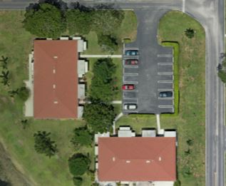
Our mapping reports make it simple to see which homes are in Fair Compliance. Because every residence is documented and stored. Additionally, it promotes privacy better than having compliance officers tour neighboring properties.
Insurance Conditions: With the help of our Maps, local governments can record the state of properties to prevent disagreements during insurance claims.
Contractor accountability is important because sometimes projects — from roofers to landscapers — don’t proceed as expected. Our Maps records a community’s circumstances in order to demonstrate what changed—or didn’t—over time.
Property management has a high turnover rate. This can make it difficult to retain or locate data that a recently departed employee was in charge of. The data is stored and you always know who to contact if you need it.
ROOF INSPECTIONS
COMMON AREA
WHO IS IN COMPLIANCE
FOR MORE INFORMATION ON WHAT I CANDO FOR YOUR COMPLEX CONTACT STEVE FROM SOUTH FLORIDA DRONE GUYS LLC AT 561-699-9122
Disclaimer
While South Florida Drone Guys LLC excels in aerial data collection, it’s important to note that we do not provide survey-grade interpretations. When it comes to projects that require precise measurements, it is essential to rely on the expertise of a licensed land surveyor or survey engineer. While we can collaborate with your surveyor to gather data, our data collection services cannot replace the role of a licensed land surveyor in any state. This holds true not just for our business but for all drone data collection services. It’s worth mentioning that we also do not overlay property boundaries on home lots, whether developed or undeveloped, for sale. This is due to the same reasons mentioned earlier – the need for surveyor expertise and the limitations of drone data interpretation. Rest assured, we are committed to working in conjunction with licensed land surveyors to provide accurate and reliable data for your projects.