An orthomosaic map is a distortion-free representation of an area that’s true to actual geography, and can be used to measure accurate distances between points. These maps have a number of use cases in a variety of industries, like real estate, law enforcement, agriculture, construction, and environmental conservation.
To create an orthomosaic map, a series of 2D images are “stitched” together into a composite image, using overlapping areas of the images as reference points.
Distortions (topographic relief, lens distortion, and camera tilt) are then corrected through the process of orthorectification, so the final map is an accurate representation of real-world conditions.
LEARN MORE HERE
Here is a good definition to get us started:
An orthophoto,orthophotograph or orthoimage is an aerial photograph geometrically corrected (“orthorectified”) such that the scale is uniform: the photo has the same lack of distortion as a map. Unlike an uncorrected aerial photograph, an orthophotograph can be used to measure true distances, because it is an accurate representation of the Earth’s surface, having been adjusted for topographic relief, lens distortion, and camera tilt.
Simply put, an orthomosaic map is a detailed, accurate photo representation of an area that has been stitched together and geometrically corrected (“orthorectified”) to be as accurate as a map.
HOW ARE PEOPLE USING ORTHOMOSAIC MAPS IN THE FIELD?
Even though we’ve provided a definition, if you haven’t worked with an orthomosaic map (or spoken with someone who has), this may all seem a little hazy.
To put things into context, let’s look at some specific examples of how orthomosaic maps are used in practice. We’ll be able to learn more about these maps by observing how they’re used.
Police and Fire Departments
Police and fire departments are using orthomosaic maps in several ways:
Mapping high-traffic areas in cities, such as malls and schools. These maps can help responders better understand the specific situation they’ll be facing when they arrive on the scene in the event of an active shooter scenario, fire, or other disaster that would require an evacuation or some kind of tactical response.
Taking photographs of crime scenes. There isn’t always enough time to thoroughly investigate a crime scene in person, and even if you do, you might miss something. An orthomosaic map allows investigators to return to a crime scene after they’ve left—at InterDrone, we heard a story about a bloody cell phone being found using one of these maps, which helped identify a suspect in a homicide investigation.
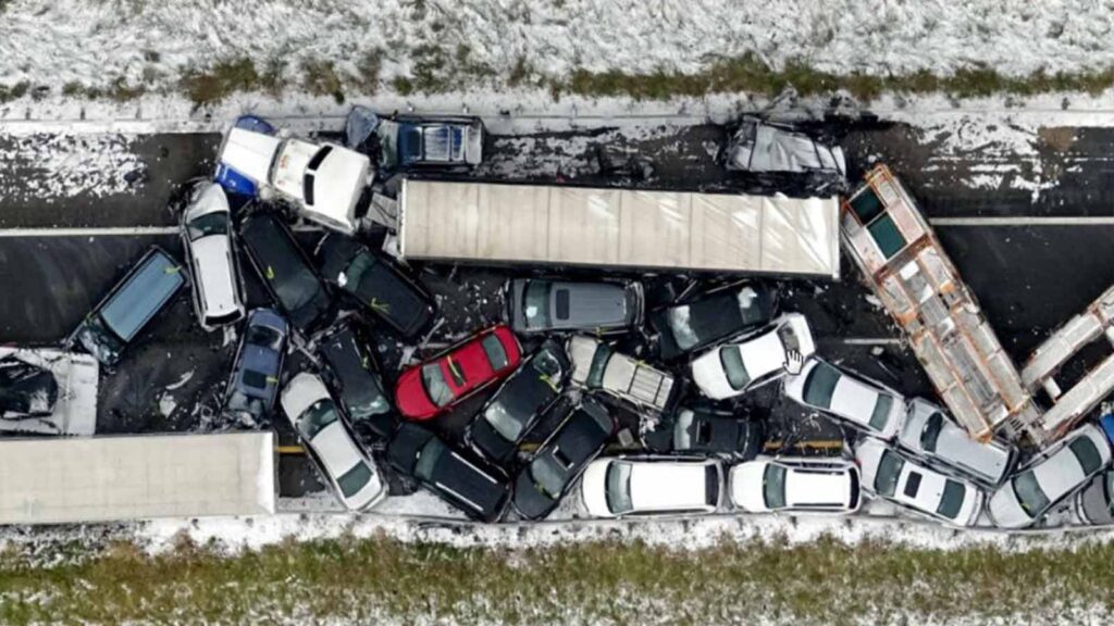
After-disaster mapping Orthomosaic maps can provide detailed accounts of the damage in a given location, allowing responders to accurately assess the damage done to the infrastructure and surrounding area.
LEARN MORE HERE
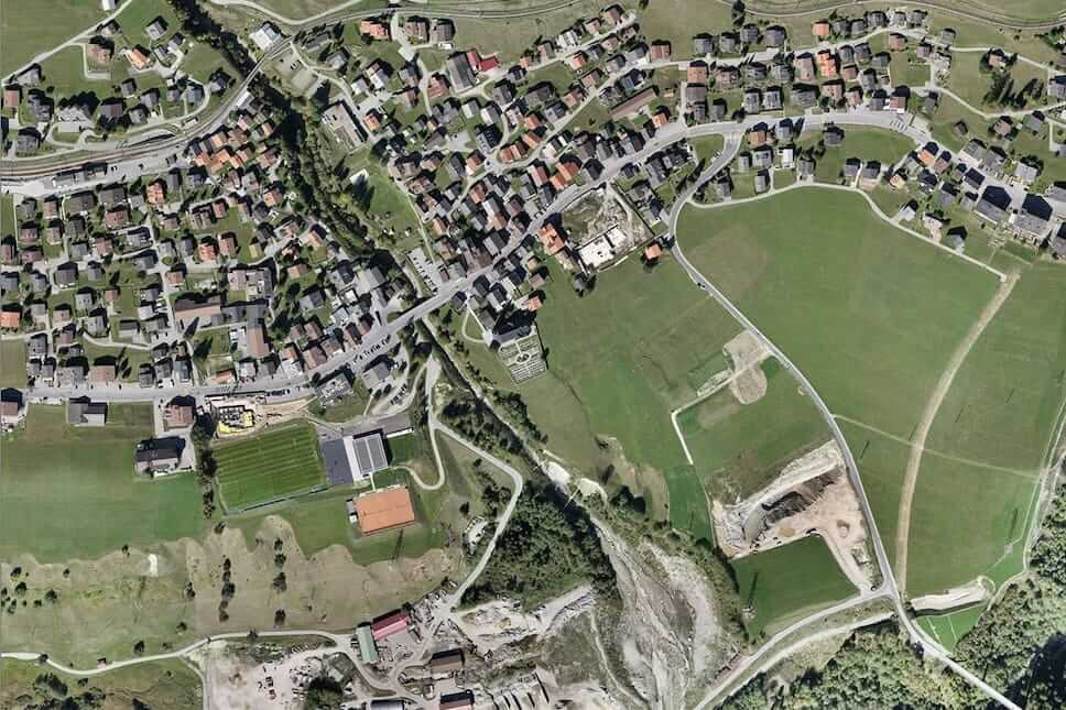
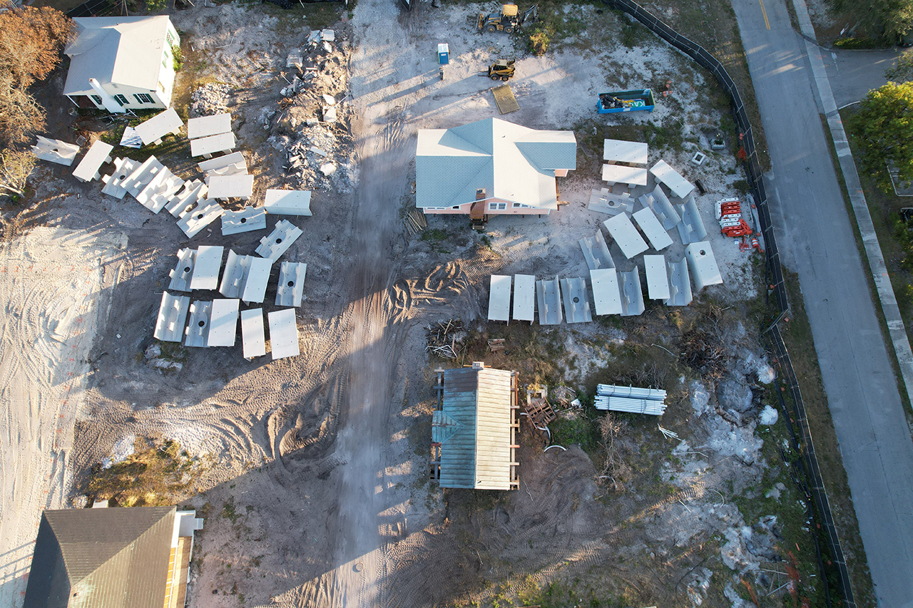
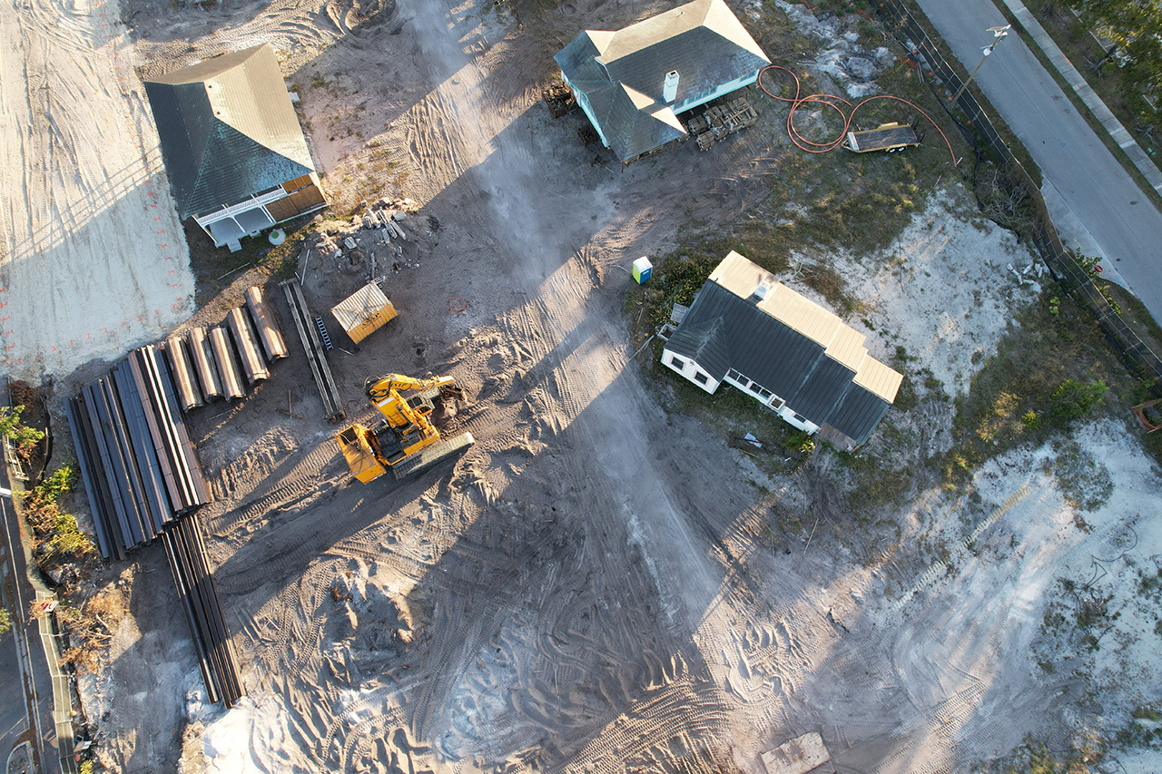
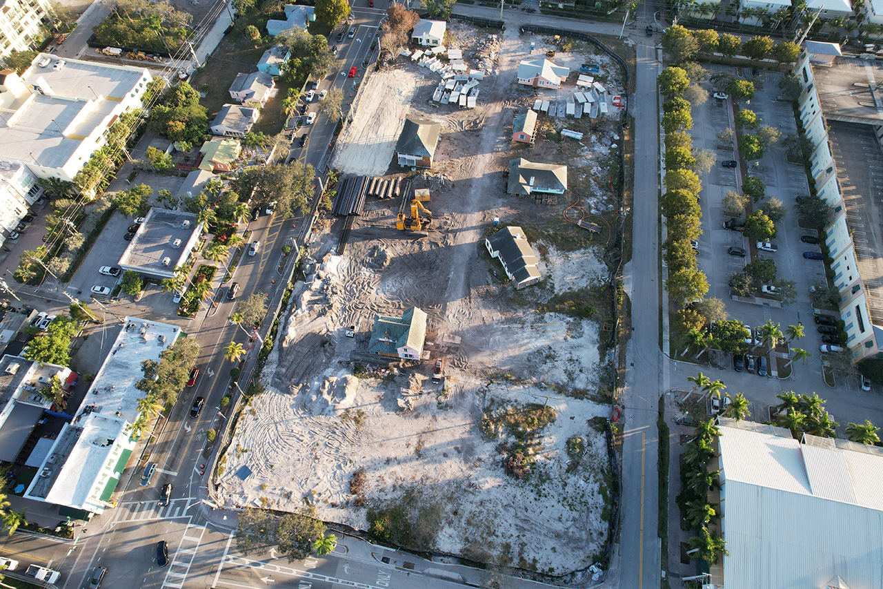
ORTHOMOSAIC MAPS USED IN REAL ESTATE
LEARN MORE HERE
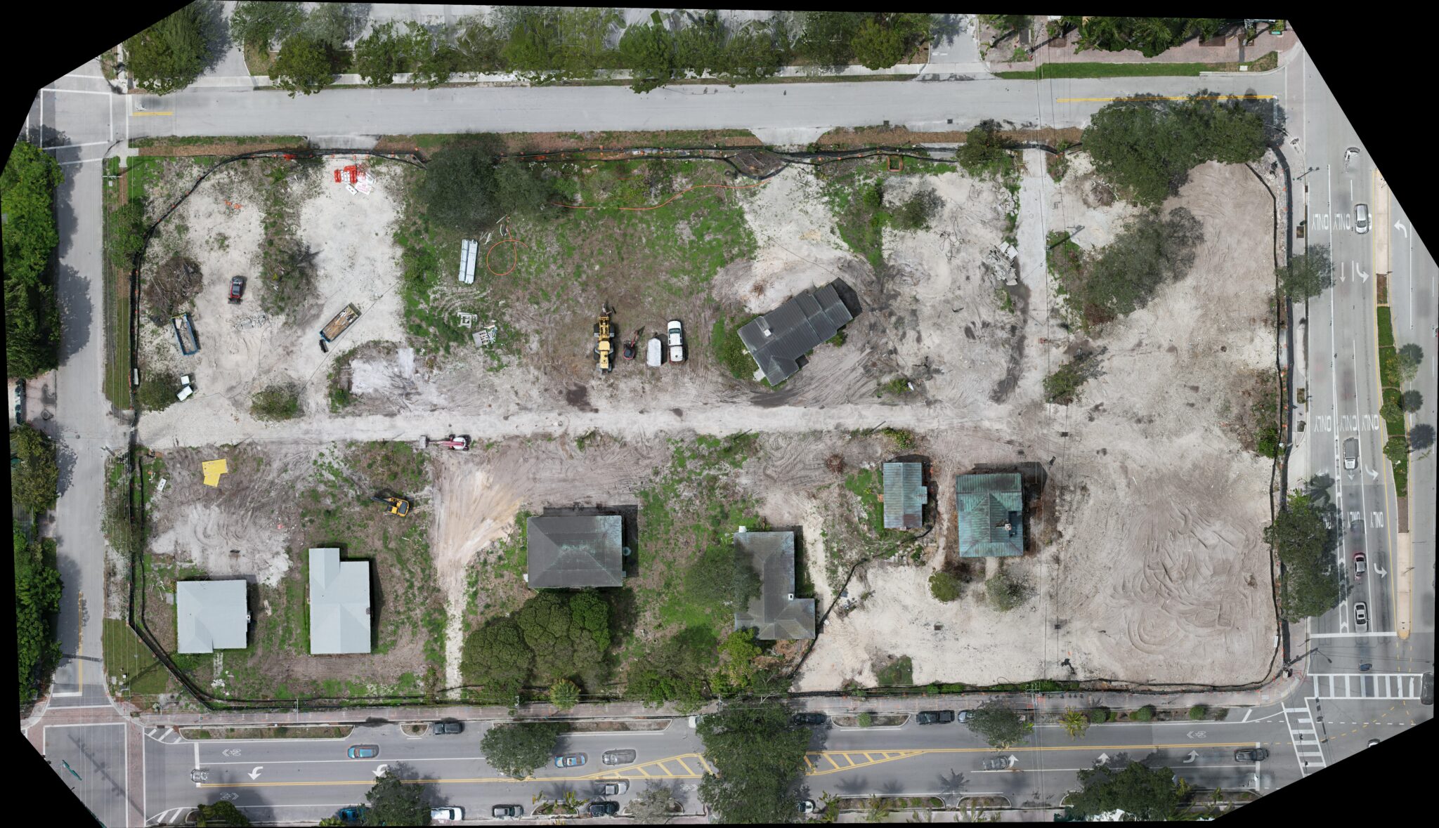
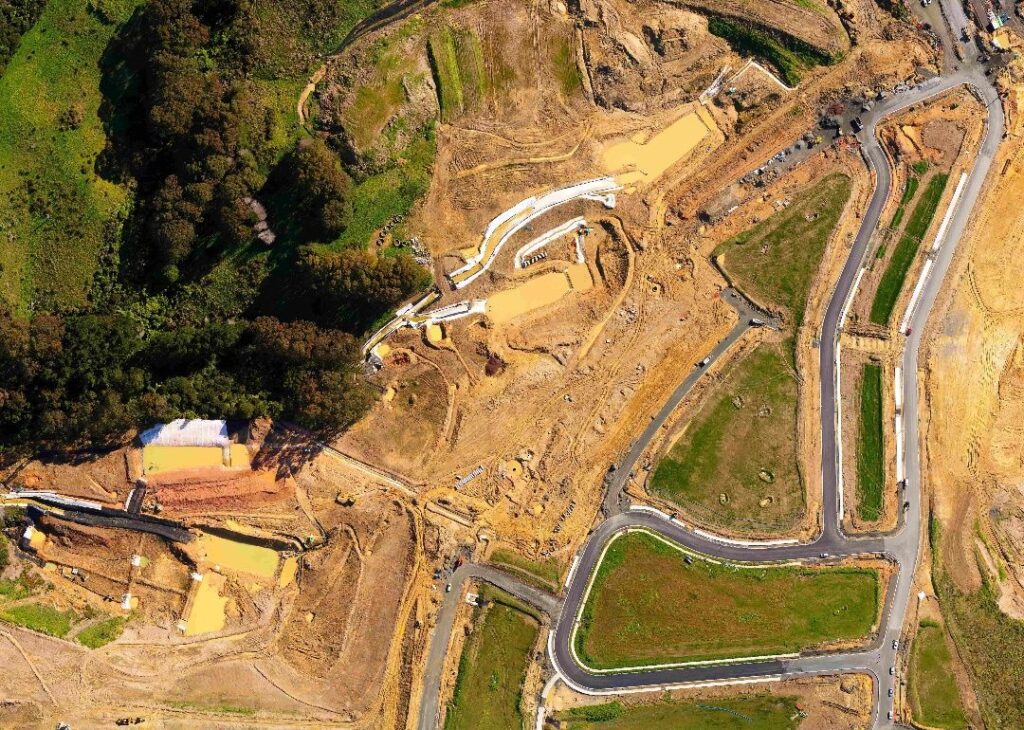
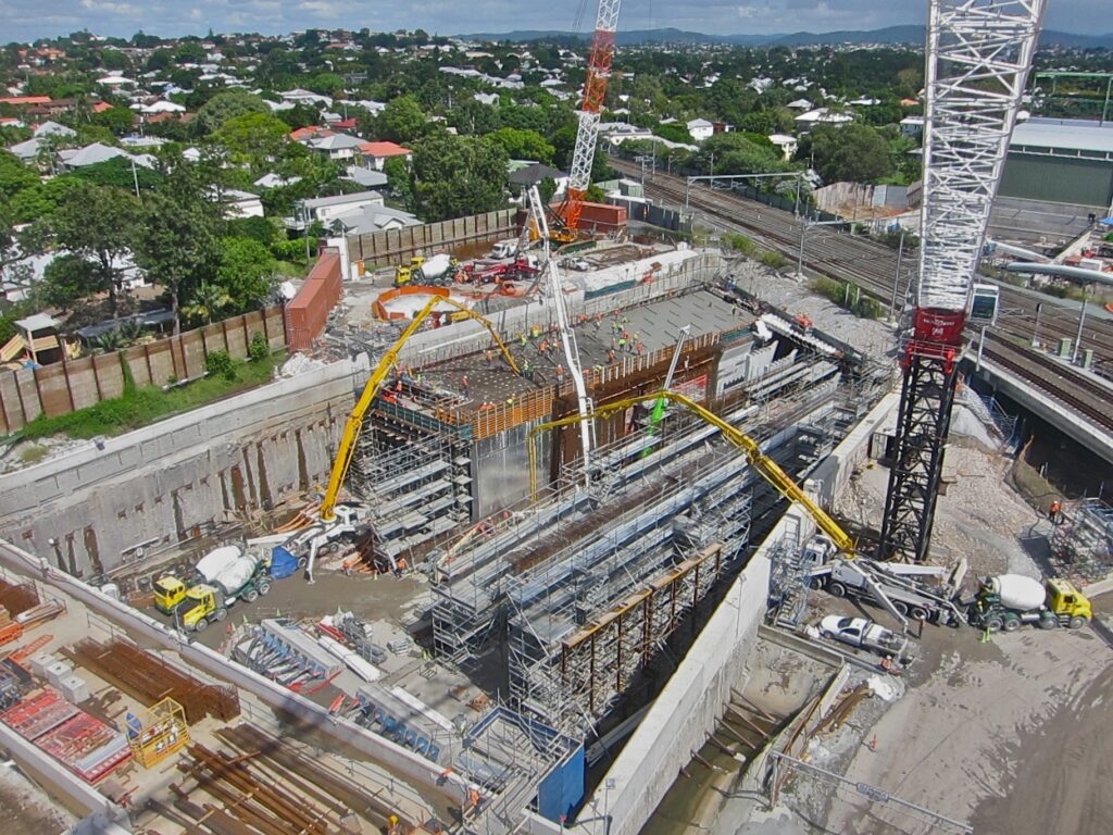
ORTHOMOSAIC MAPS USED IN CONSTRUCTION
LEARN MORE HERE
HOLD SHIFT AND SCROLL ON MOUSE BUTTON TO ZOOM IN AND OUT OR CLICK HERE FOR FULL SCREEN
HOLD SHIFT AND SCROLL ON MOUSE BUTTON TO ZOOM IN AND OUT OR CLICK HERE FOR FULL SCREEN
LEARN MORE HERE
PROJECT MONITORING
LEARN MORE HERE
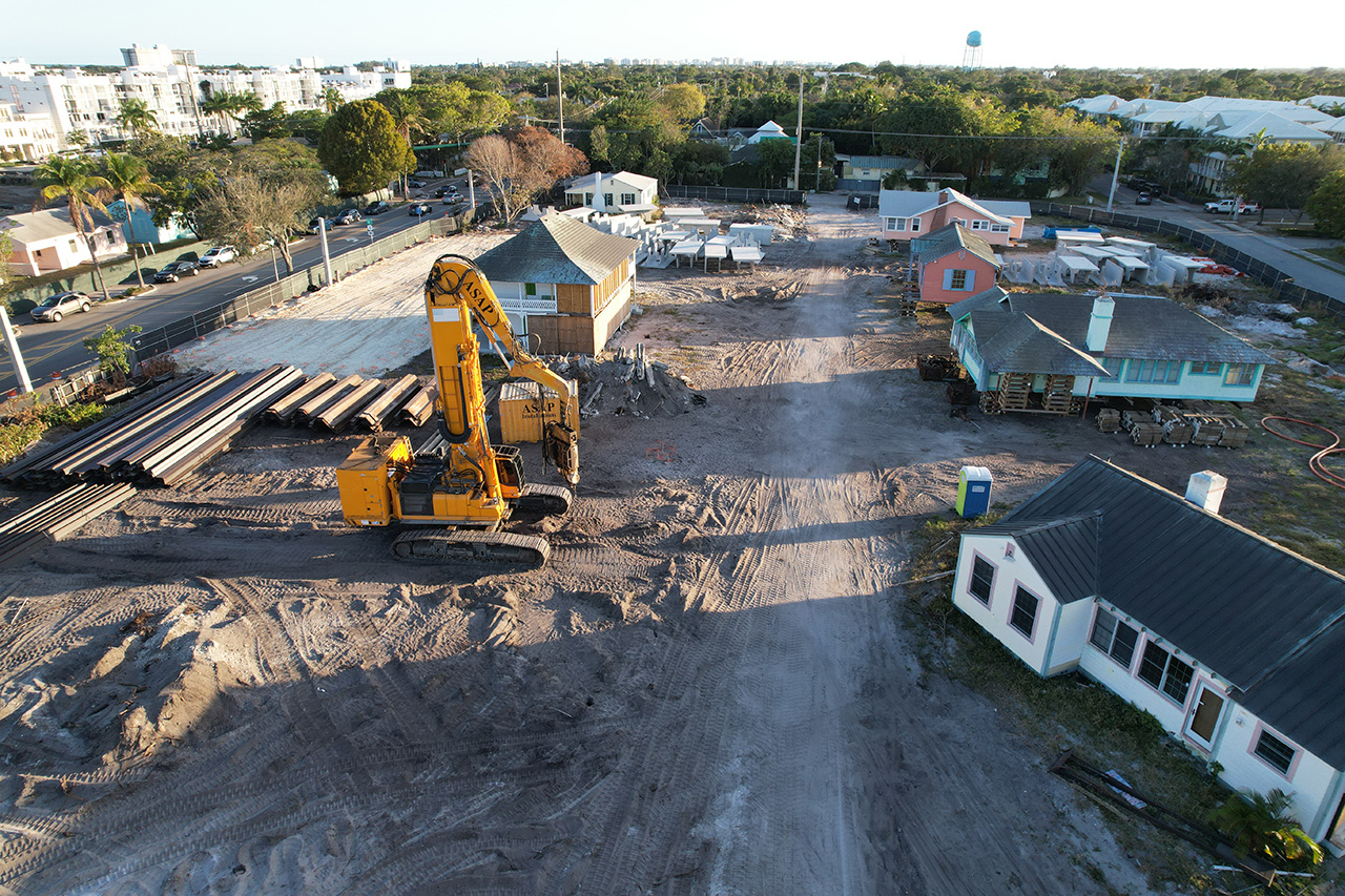
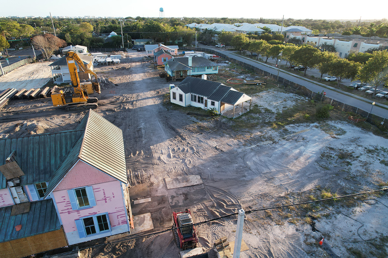
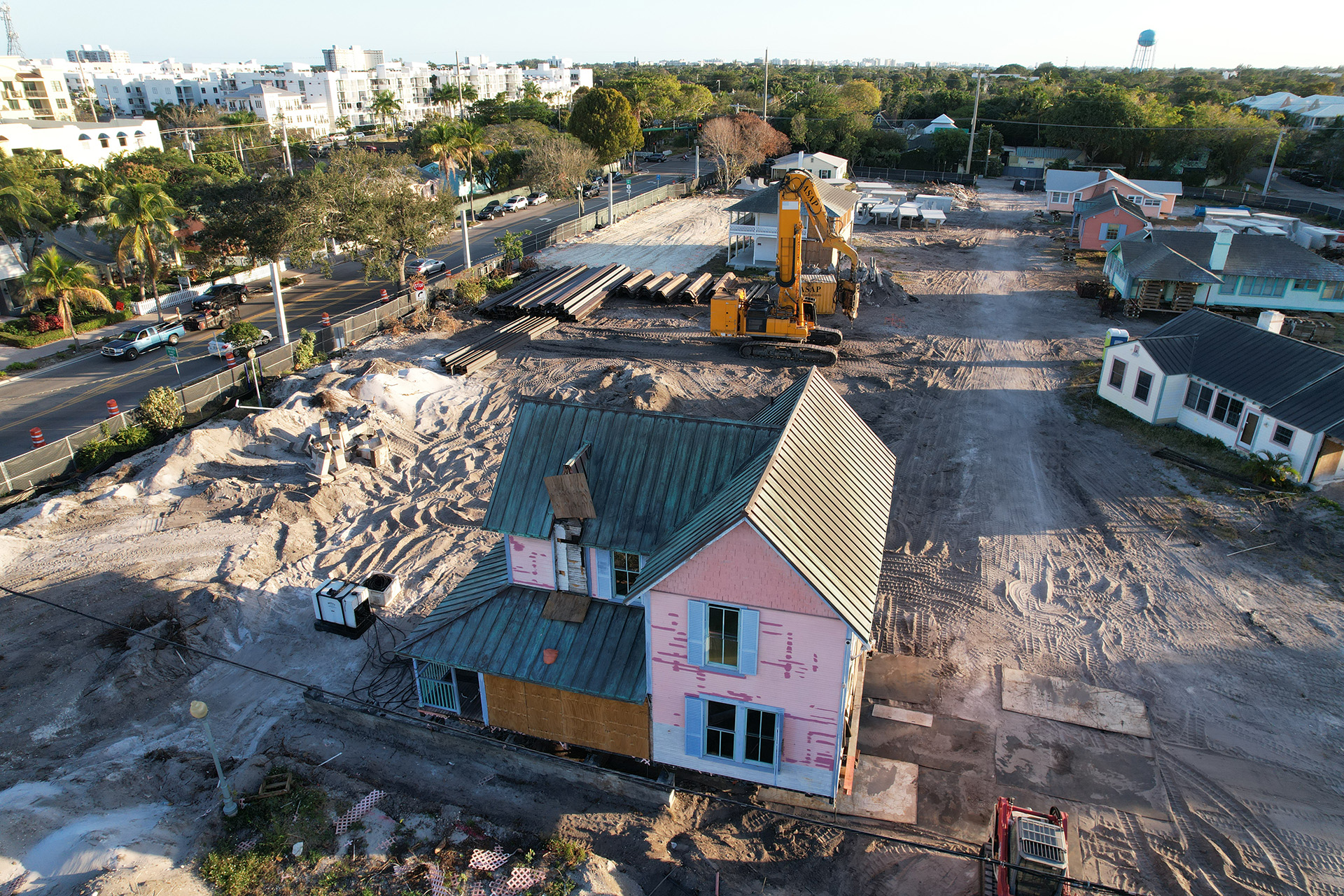
A DRONE IMAGE OF A CONSTRUCTION SITE CAN BE A CRUCIAL TOOL FOR CONSTRUCTION PROFESSIONAL AS IT PROVIDES AN AERIAL PERSPECTIVE AND DETAILED INFORMATION ABOUT THE SITEAS SEEN BELOW