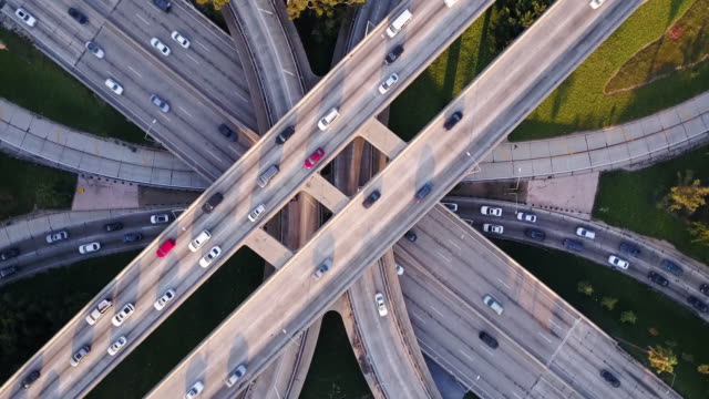
Drones For Infrastructure
Drones are being used for infrastructure inspections for several reasons:
Speed: Drones can quickly inspect large infrastructure structures, such as bridges, buildings, and dams, capturing images and data in a fraction of the time it would take for a manual inspection.
Cost-effectiveness: Sending a team of inspectors or using a manned aircraft to inspect infrastructure structures can be expensive. Using a drone can be a more cost-effective solution.
Improved accuracy: Drones equipped with high-resolution cameras and other sensors can provide detailed images and data, allowing for a more accurate assessment of the infrastructure structure’s condition.
Increased safety: Inspecting infrastructure structures, such as tall buildings and bridges, can be dangerous. Using a drone eliminates the need for workers to physically access these structures, increasing safety.
Reduced disruption: Drone inspections can be performed without disrupting the normal operations of the infrastructure, unlike manual inspections that may require the closure of sections of the structure.
Overall, the use of drones for infrastructure inspections can help to improve accuracy, efficiency, safety, and reduce costs and disruptions, making the inspection process more streamlined and effective.

The adoption of drones in the transportation sector is experiencing rapid growth. According to a 2018 study conducted by the American Association of State Highway and Transportation Officials (AASHTO), 35 states have incorporated drones into their operations, with 20 states integrating drones into their Department of Transportation (DOT) activities and 15 states actively engaged in testing and research. Drones have proven to be invaluable in reducing time and costs associated with inspecting critical transportation infrastructure.
Traditionally, railroad inspections required manual labor, with inspectors walking along the tracks and documenting any anomalies. However, drones have revolutionized this process by enabling faster inspections and delivering more precise data.
In fact, BNSF Railways, one of the early private partners of the FAA’s Pathfinder Program, conducted research on Beyond Visual Line of Sight (BVLOS) flights specifically for railway inspections.
To perform these inspections effectively, it is crucial to have a solid understanding of the assets being examined. This includes ensuring sufficient coverage of the infrastructure being inspected, whether it’s railroad ties, roads, or bridges. By collecting comprehensive data, problem areas can be identified and addressed using the insights provided by the drone-generated data.